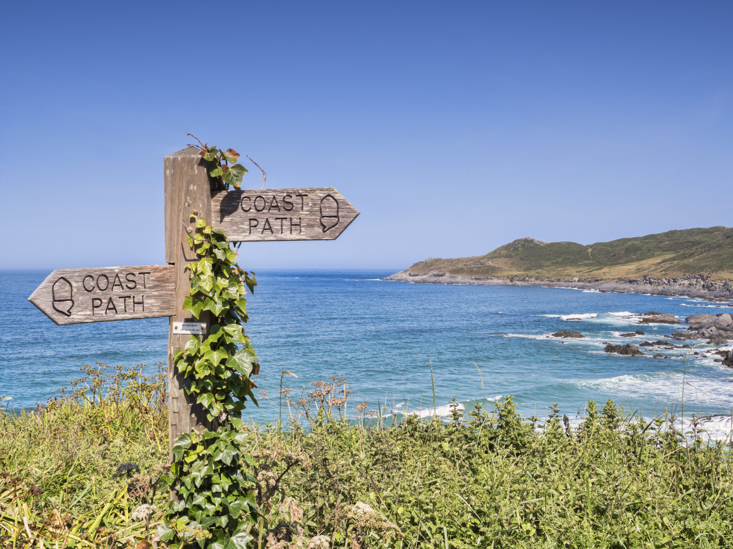
How England built the longest managed coastal trail in the world — and the obstacles it had to overcome
When complete, the King Charles III England Coast Path will form a continuous walking route around the entire English coastline — more than 2,700 miles of cliffs, beaches, estuaries, marshes, and seaside towns. It is one of the most ambitious public‑access projects ever attempted in the UK. But its creation didn’t happen overnight. It is the result of decades of campaigning, legislative change, negotiation, engineering, and persistence.
This is the story of how England finally set out to open its entire coast to walkers — and the challenges that had to be solved along the way.
A long campaign for coastal access
For most of the 20th century, large parts of England’s coastline were inaccessible. Walkers could enjoy famous stretches like the South West Coast Path, but elsewhere the shoreline was fragmented by private land, industrial sites, caravan parks, military zones, and eroded cliffs.
Campaigners argued that a country with such a rich maritime history deserved a continuous coastal path. The idea gained momentum in the early 2000s, when the success of the Wales Coast Path demonstrated what a national coastal trail could achieve for tourism, health, and local economies.
The breakthrough came with the Marine and Coastal Access Act 2009, which gave Natural England the legal power to create a new right of access along the entire English coast. For the first time, the law required a continuous path — and crucially, a margin of land beside it where people could roam.
This was the birth of what is now known as the King Charles III England Coast Path.
The challenge of building a path around a living, shifting coastline
Creating a national trail on land that is constantly eroding, flooding, or shifting was never going to be simple. England’s coastline is dynamic — cliffs collapse, dunes move, estuaries widen, and storms reshape beaches.
To solve this, the path introduced a world‑first concept: “roll‑back” access. This means the route can legally move inland or seaward as the coastline changes, without requiring new negotiations every time erosion occurs. It’s a flexible, adaptive approach that allows the path to survive long‑term environmental change.
But roll‑back was only one of many challenges.
Negotiating access — one landowner at a time
Unlike national parks or long‑established rights of way, much of the English coast passes through private land. Natural England had to negotiate with:
- farmers
- caravan park owners
- industrial operators
- ports and harbours
- conservation bodies
- private estates
- military land managers
Each stretch required agreement on where the path could go, how it would be fenced, how livestock would be protected, and how public access could be balanced with business needs.
Some negotiations were smooth. Others took years.
Engineering solutions for difficult terrain
In many places, there simply wasn’t a walkable route. Engineers had to create one.
This meant:
- building new boardwalks across marshes
- installing steps and handrails on steep slopes
- constructing bridges over tidal creeks
- reinforcing eroded cliff‑top sections
- creating safe diversions around industrial zones
- designing accessible surfaces for mixed‑ability users
The path had to be safe, durable, and environmentally sensitive — a difficult combination.
Environmental protection and wildlife considerations
Large parts of the English coast are internationally protected habitats. The path had to be designed to avoid disturbing:
- nesting seabirds
- seal colonies
- rare dune systems
- saltmarsh ecosystems
- fragile cliff‑top flora
In some areas, the route was deliberately set back from the shoreline to protect wildlife. In others, seasonal diversions were created to avoid sensitive breeding periods.
Balancing public access with conservation was one of the most complex aspects of the project.
Funding, delays, and the impact of storms and politics
The project faced repeated delays:
- Storm damage forced redesigns of several sections.
- Budget constraints slowed progress in the 2010s.
- COVID‑19 halted on‑site work for months.
- Local planning disputes held up key links.
Despite this, the path continued to advance section by section, with new stretches opening every year.
A new name for a new era
Originally known simply as the England Coast Path, the trail was renamed the King Charles III England Coast Path in 2023 to mark the coronation of King Charles III and his long‑standing support for environmental access and conservation.
The new name reflects both the national significance of the project and its role in connecting people with the natural world.
A national achievement — and a legacy for future generations
The creation of the King Charles III England Coast Path is one of the most ambitious public‑access projects ever undertaken in the UK. It required:
- new legislation
- innovative engineering
- thousands of negotiations
- environmental sensitivity
- long‑term vision
When complete, it will be the longest managed coastal walking route in the world — a path that belongs to everyone, offering a continuous journey through England’s landscapes, communities, and maritime heritage.
It is more than a walking trail. It is a national legacy.